- Provides custom maps for Alaskan National Parks
- Easy-to-use interface helps you quickly locate trails, create instant elevation profiles, plan routes, and more
- Combines the precision of Trails Illustrated topographic maps with the award-winning TOPO! custom mapping technology
- Print out maps with trail, campsite, hiking, safety, and trip-planning information
- The ideal software for planning your Alaskan National Park adventures
From the Manufacturer
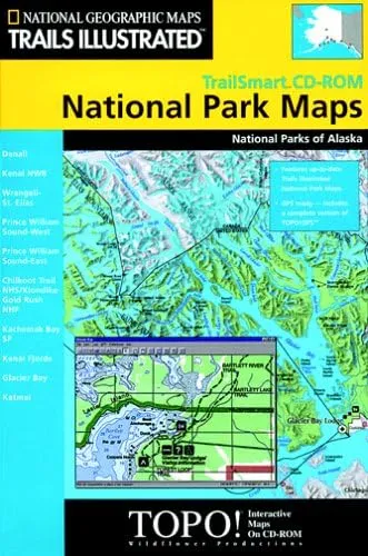
National Geographic TrailSmart Alaska, the ideal software for planning your U.S. national park adventures, combines the precision and accuracy of Trails Illustrated topographic maps with the award-winning TOPO! custom mapping technology. The easy-to-use interface helps you quickly locate trails, create instant elevation profiles, plan routes, and print your own custom maps with trail, trailhead, campsite, hiking, safety, and trip-planning information. Software is GPS compatible.
Coverage
Denali National Park, Kenai National Wildlife Refuge, Wrangell-St. Elias, Prince William Sound-West, Prince William Sound-East, Chilkoot Trail / Klondike Gold Rush National Historic Park, Kachemak Bay State Park, Kenai Fjords, Glacier Bay and Katmai National Parks.


